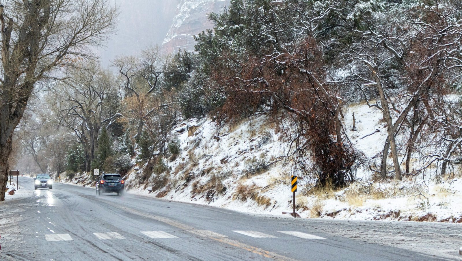
UNITED STATES. A large part of the country is bracing for a winter storm expected to bring heavy snowfall and a sharp drop in temperatures through the week. Forecasters say the system will move quickly across the Midwest, Great Lakes, and Northeast, pulling Arctic air behind it and driving temperatures well below normal for early December. The National Weather Service (NWS) has issued winter weather alerts and is urging residents to prepare for slippery roads, low visibility, and wind chills that could become dangerous overnight.
The storm is not expected to last long, but the intensity of the temperature drop is what forecasters are watching closely. In several states, daytime readings may fall 15 to 25 degrees within hours. For millions easing into winter, that shift may feel abrupt. Transportation departments, airports, and local emergency teams across northern states are monitoring the system as it moves in.
Snow totals will be highest across the northern Midwest and Great Lakes region, where forecasters expect between 5 and 10 inches, with more possible in lake-effect corridors. Further east, snow amounts will likely be lighter but still capable of causing delays as the system pushes toward Pennsylvania and interior New England.
Travel disruptions are possible from Tuesday onward. Chicago, Milwaukee, Detroit and other northern hubs are preparing for delays if snowfall arrives during peak commuting hours. Airlines have released weather-flex policies that allow passengers to adjust their schedules, a common move ahead of fast-moving winter systems.
Instagram Reel
The cold wave following the storm is likely to be the real challenge. Meteorologists expect a pocket of Arctic air to drop southward, bringing nighttime temperatures into the teens and single digits across several states. Wind chills could fall even lower. Communities across Minnesota, Iowa, Wisconsin, Michigan, and northern Ohio may feel the most dramatic drop.
Southern states won’t escape entirely. While Texas, Oklahoma, and Arkansas are not expecting snowfall, temperatures may dip below freezing overnight. Utility companies in those regions have already urged households to check heating units and insulate exposed pipes.
On the East Coast, conditions will depend on the storm’s moisture as it arrives. Some areas could see several inches of snow, while others may experience a brief mix. Forecasters expect the NWS to update advisories frequently as models sharpen through the week.
Instagram Reel
Meteorologists say the setup is typical for early December but note that the strength of the Arctic push may hint at a more active month ahead. For now, officials are reminding people to stay updated, avoid unnecessary travel during peak snow hours, and prepare homes for colder nights.
In Short
- A fast-moving snowstorm will affect the Midwest, Great Lakes, and Northeast.
- Snow totals may reach 5–10 inches in northern regions.
- Arctic air behind the system will bring the coldest temperatures of the season so far.
- Travel delays are possible in major hubs like Chicago and Detroit.
- Residents are advised to follow updates from the National Weather Service.
Which states will see the highest snowfall?
Michigan, Wisconsin, Minnesota, and parts of upstate New York are likely to see the largest totals.
How cold will temperatures get?
Many areas will drop quickly into the teens and single digits, with wind chills near or below zero.
Will Southern states be impacted?
They will avoid snow but may face below-freezing overnight temperatures.
Could this affect holiday travel?
Yes — especially if snowfall hits during peak flight or commute windows in large northern cities.


Leave a Reply